Saturday September 30, 2023 Bike/Hike Summary
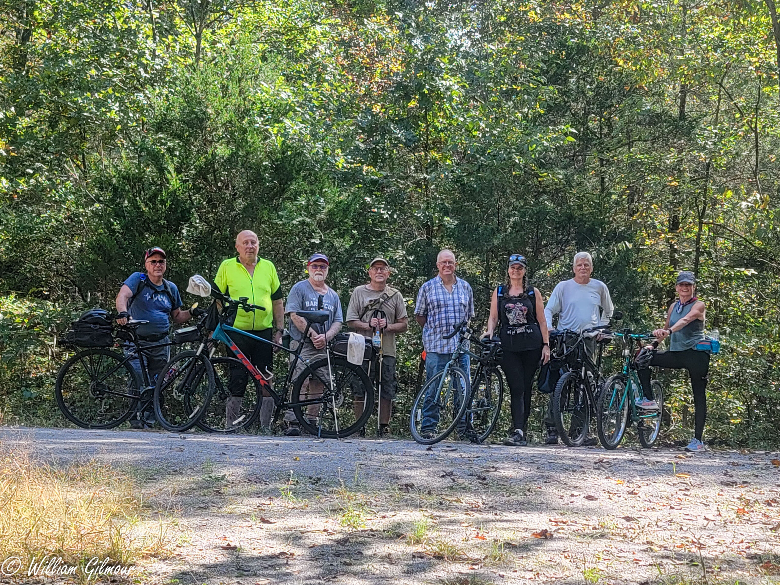
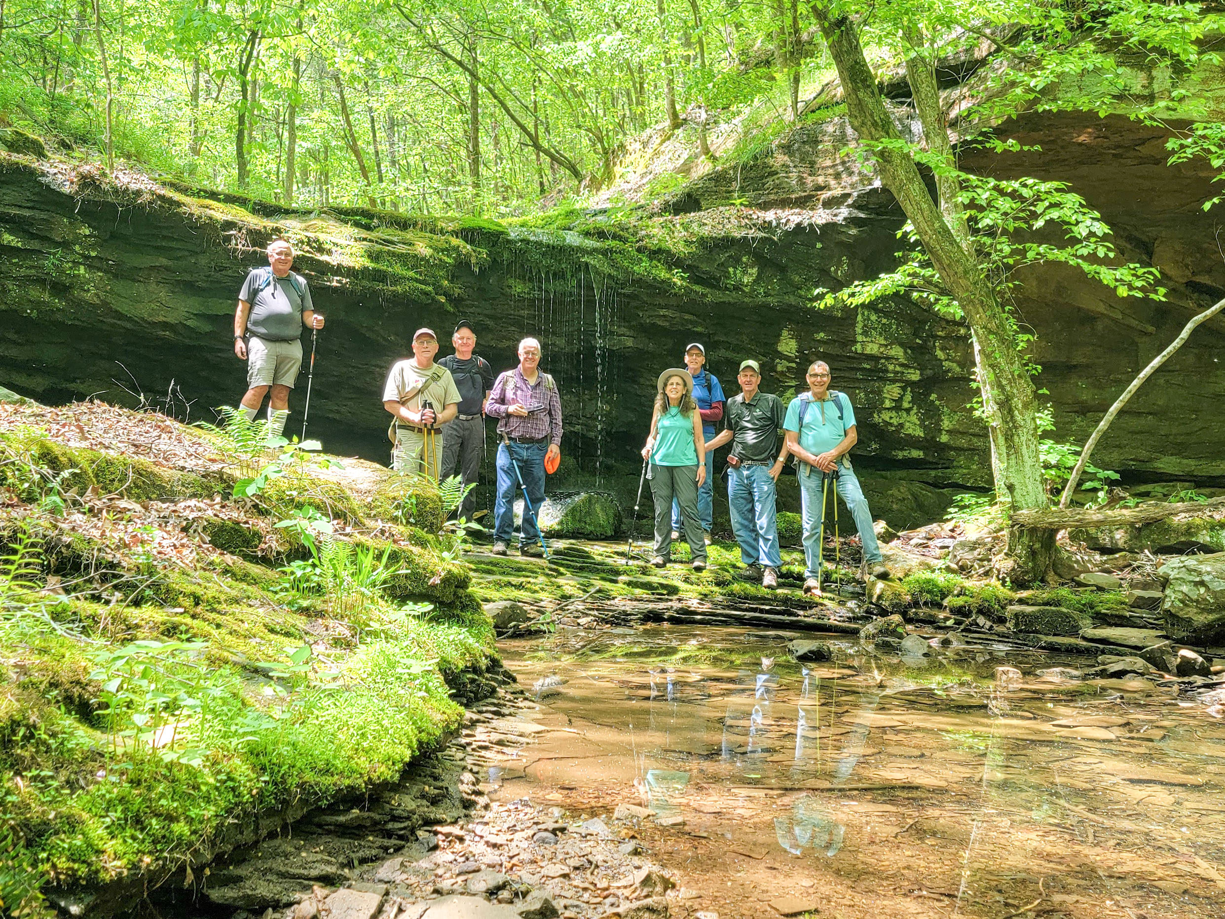
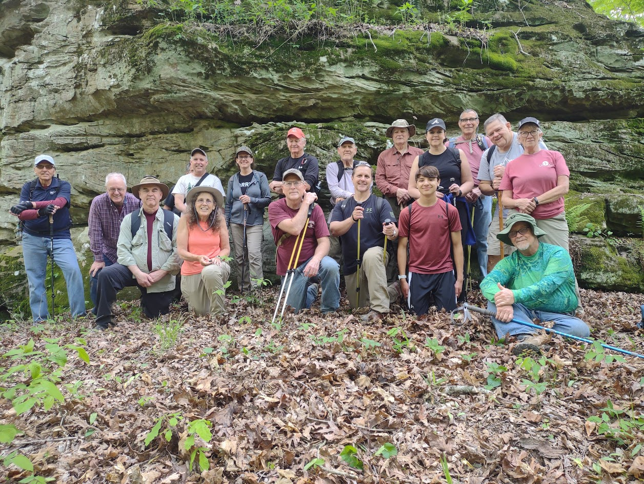
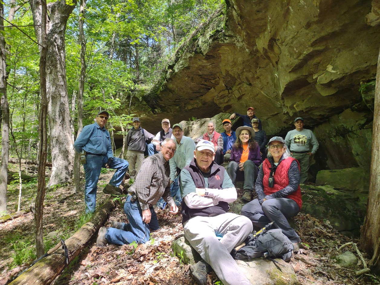
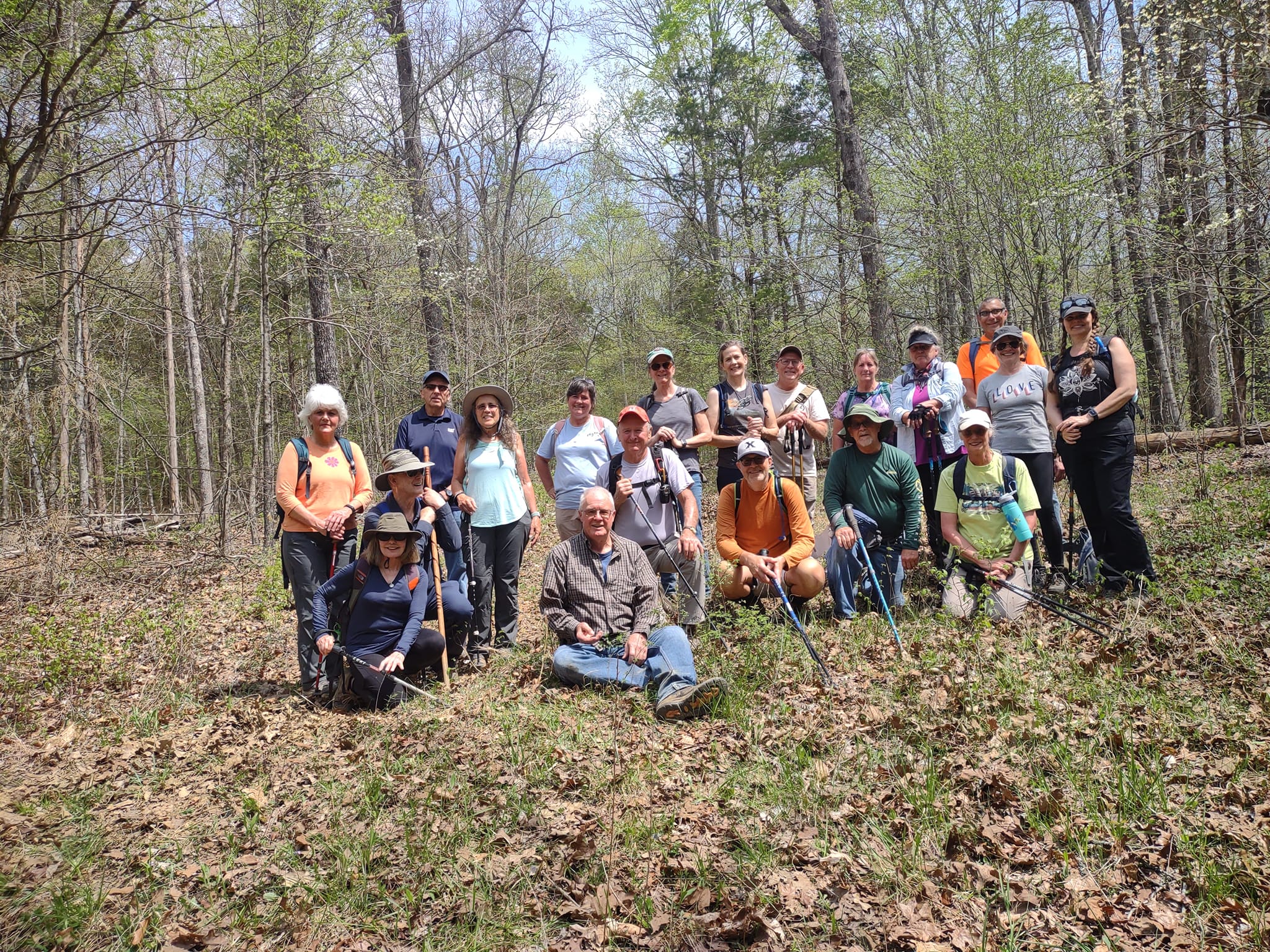
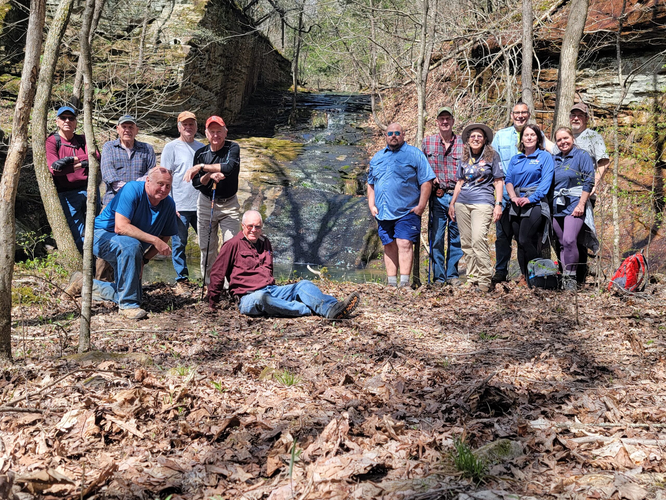
On Saturday September 30th, 7 hikers met Bill Gilmour, the hike leader at the Vienna City park to bike 7 miles up to the North end of the Breeden Trestle on the Tunnel Hill bike trail. 2 other hikers met at Sandborn Junction and walked the 1.5 miles South to the meeting point. Bill led a total of 9 hikers, eastward, into the woods, along an old trail, until we found a bluff line. We followed the lower bluff line. We found several shelter bluffs, and a natural spring. an open glade, saw where the re-working of a power line was taking place, with all the soil conservation measures in place. We also walked into a nest of ground bees, that 2 people got stung by, with a pair having to turn back due to the severeness of a sting. We saw 1 active game camera, and turned back, due to possible encroachment on private property, and then found a wonderful natural arch. We also found, in 1 shelter bluff, the ‘markings’ of someone who had desecrated the shelter bluff. 2 new hikers joined us, 1 from the Effingham, Illinois area, and 1 from Missouri. It was pretty warm out, but, everyone was able to deal with the heat. This was our 1st “bike & hike” since 2014.
Next weeks’ hike will be led by Bill Gilmour, taking place in the Millstone lake area. ,meeting at the intersection of IL. Rt. 147 & Cedar Grove church road.
Until then, See ya on the trail,
Respectfully submitted,