Saturday, April 22, 2023 Hike Announcement

The River-to-River Trail Society announces its 8th public hike of the 2023 spring hiking season on April 22nd. Hiking: Dutchman Lake Loop (Johnson County). This hike is free and open to the public. This hike will be of moderate difficulty, 5 miles in length, 4 hours hiking time. This will be a loop hike. The leader of the hike can be reached at 618-759-1924 for more information. Hikers should meet at 10:00 am at Dutchman Lake. This hike is intended for people in good health who have done some hiking. Hiking sticks and waterproof boots or sturdy shoes are recommended. Hikers should bring their own water and snacks. No dogs please. There will be several small stream crossings associated with hike and some of these streams may contain moving water. Hike may need to walk rocks when crossing these streams. Some of the hike will take place on rocky terrain and sloped areas.

For a map to Dutchman Lake click this blue link Dutchman Lake and a map will open up, and then click the Directions button and a driving map will be created which will allow you to plan your driving directions to the parking area. Driving directions from the east: From the intersection of Hwy 45 and Tunnel Hill Rd. turn northwest onto Tunnel Hill Rd. and go 5.6 miles. Turn left onto CR 1575W/Dutchman Lake Rd and go 3.4 miles. Turn right onto Fishing Hole Lane and go 0.7 miles to parking area. Driving directions from the west: From the intersection of Hwy 37 and Tunnel Hill Rd, turn east on Tunnel Hill Rd. and go 3.6 miles. Turn right onto CR 1575W/Dutchman Lake Rd and go 3.4 miles. Turn right onto Fishing Hole Lane and go 0.7 miles to parking area. If driving from the south on I-24, exit 16 for Hwy 146 may be closed.

Prior to participating in any hikes, the River-to-River Trail Society requests that all hikers read the 2023 Trail Society Waiver which can be found on the River-to-River web site at the following link River-to-River Trail Society Information and then sign off on this waiver prior to the beginning of the hike.  A copy of the waiver will be at the Dutchman Lake meeting area for your signature.

Saturday April 8, 2023 Hike Summary

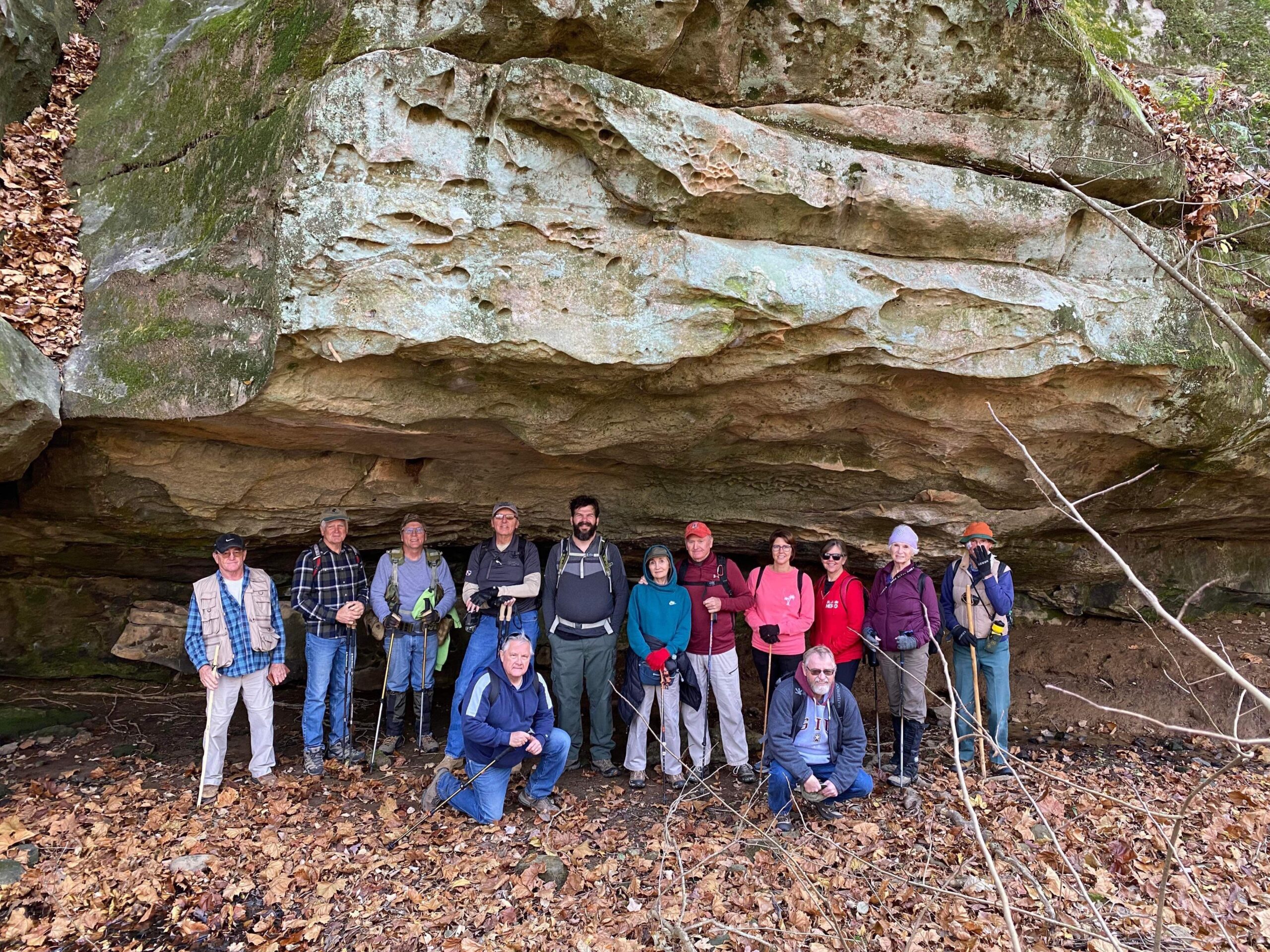
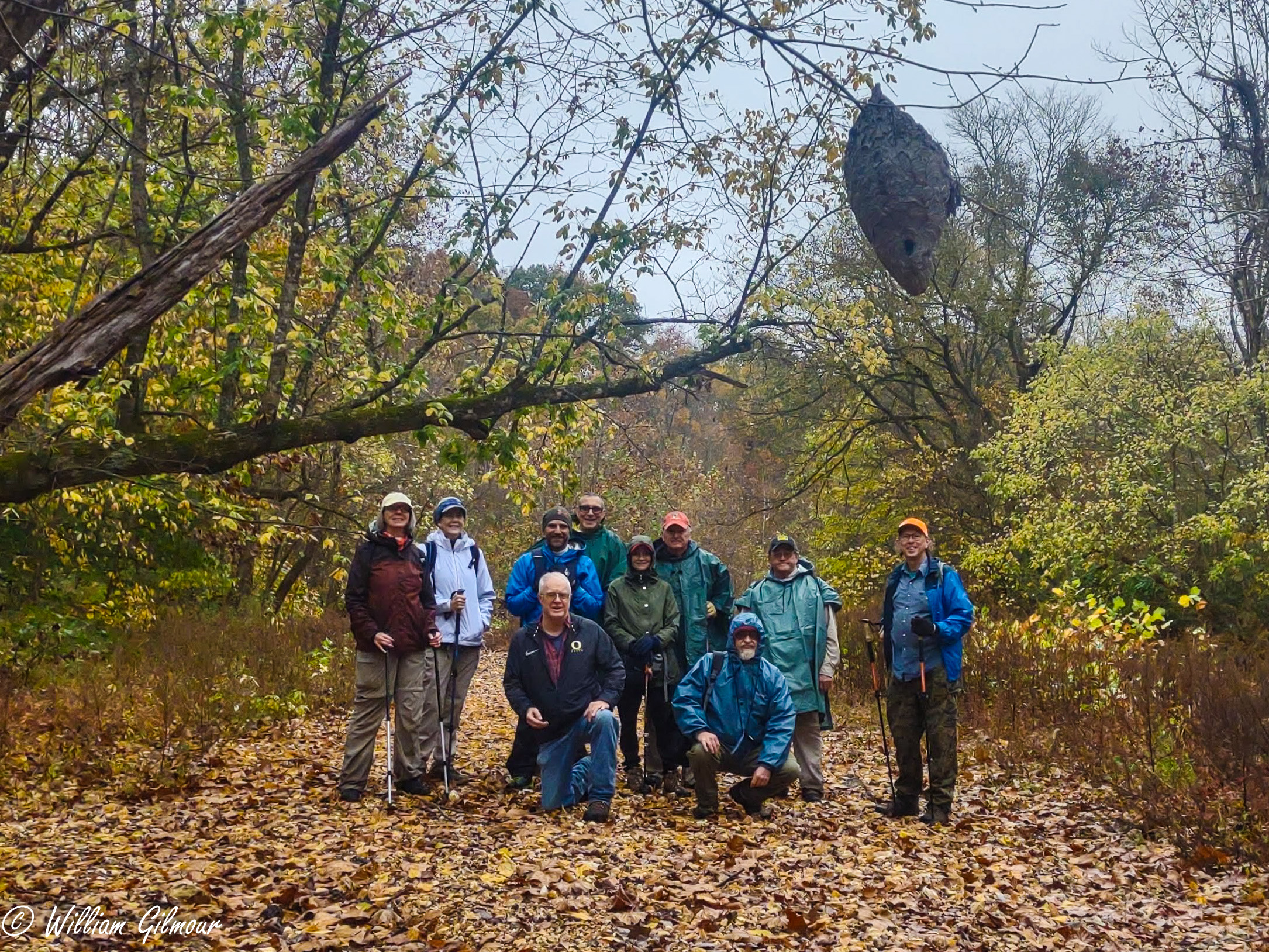
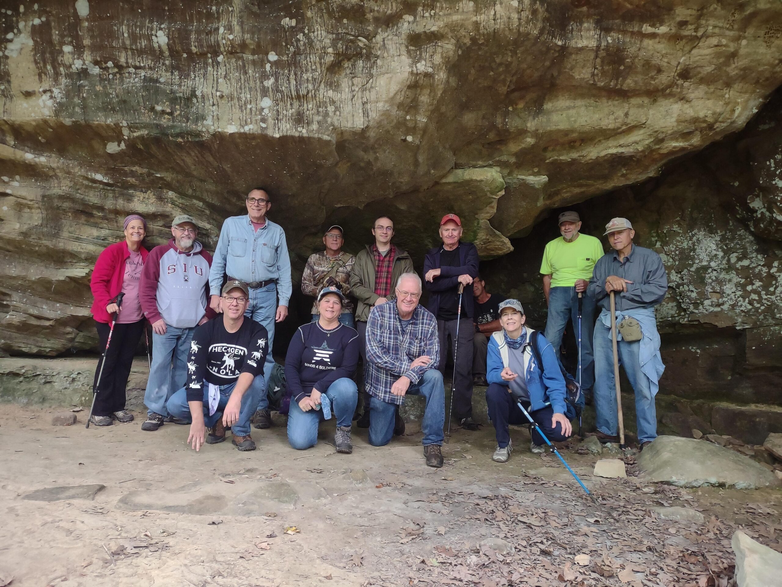
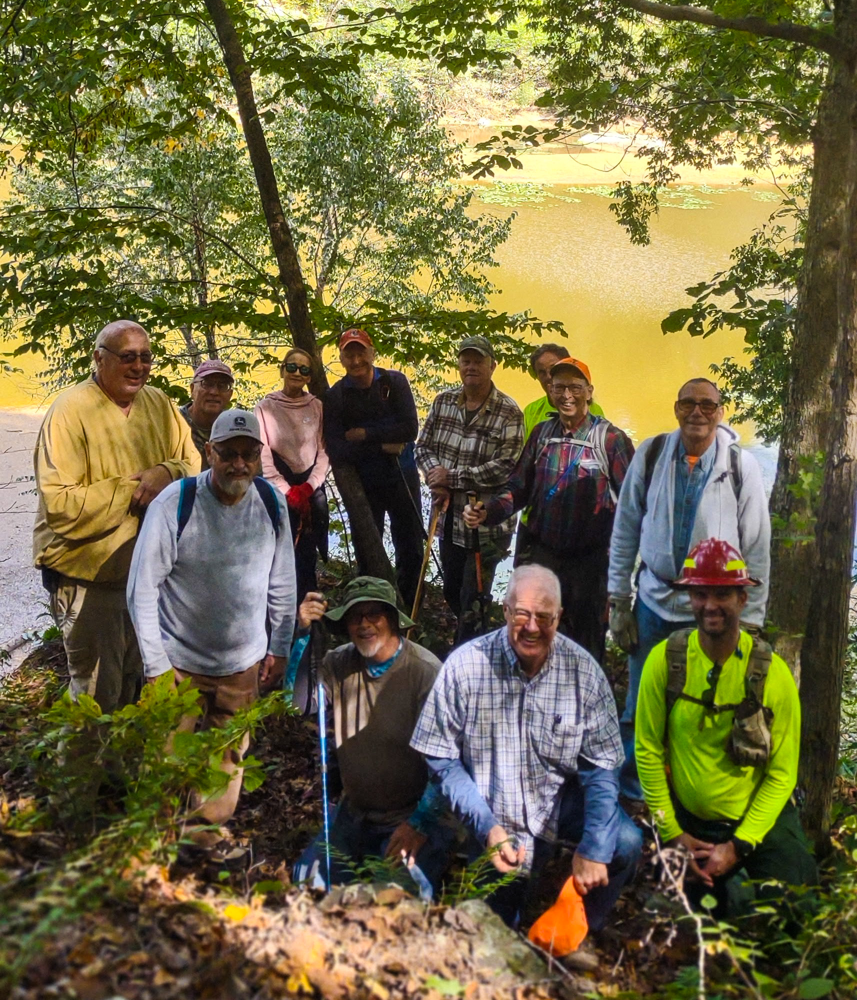
Saturday April 8th, Steve Melville led 12  hikers into the woods just North of Camp Cadiz. It was a sunny day ,with a couple of new hikers, 1 from Sullivan Illinois. We were “off-trail” over 80% of the time and hiked about 4 miles. We ate lunch and took the group picture at Ripple Canyon falls. The pool of it was clear as a bell. After lunch, we found a “pothole” arch. There was just enough water to make waterfalls flow…and stream crossings fun. 

Next week, Sat, April 15th, our hike will be meeting on Cedar Grove Road, (west of Eddyville) to hike to Crow Knob, and several trails around that area, led by Bob Mulcahy. After that, we only have 3 hikes left to do this spring. Until then, “See ya’ll On the Trail”. 

Saturday, April 15, 2023 Hike Announcement

The River-to-River Trail Society announces its 7th public hike of the 2023 spring hiking season on April 15th. Hiking: Crow Knob and Miller Grove National Historic area (Pope County). This hike is free and open to the public. This will be a hike of moderate difficulty, 5 miles in length 3.5 hours hiking time. This will be a loop hike. The leader of this hike can be reached at 708-471-7500 for more information. Hikers should meet at 10:00 am at intersection of Cedar Grove Rd & the R2R Trail. This hike is intended for people in good health who have done some hiking. Hiking sticks and boots or sturdy shoes are recommended. Hikers should bring their own water and snacks. No dogs please. There are 5 stream crossings which may contain moving water and hikers may need to walk rocks in order to cross some of the streams. Some of this hike will take place on rocky terrain and sloped areas.

For a map to the intersection of Cedar Grove Rd. and the R2R trail click this blue link April 15th hike, parking and a map will open up, then click the Directions button and a driving map will be created which will allow you to plan your driving directions to the parking area. Driving directions from the north: From the intersection of Hwy 145 and Water Tower Road turn west onto Water Tower Road and go 0.8 miles. Turn left on Archery Road and go 0.7 miles. Turn right onto Ozark Road and go 1.3 miles. Turn left onto Cedar Grove Road and go 3.1 miles. Parking will be on the right. Driving directions from the south: From the intersection of Hwy 147 and Cedar Grove Road turn north onto Cedar Grove Road and go 3.0 miles. Parking will be on the left.

Prior to participating in any hikes, the River-to-River Trail Society requests that all hikers read the 2023 Trail Society Waiver which can be found on the River-to-River web site at the following link River-to-River Trail Society Information and then sign off on this waiver prior to the beginning of the hike. A copy of the waiver will be at the meeting area for your signature.

Saturday, April 8, 2023 Hike Announcement

The River-to-River Trail Society announces its 6th public hike of the 2023 spring hiking season on April 8th. Hiking: Ripple Canyon Camp Cadiz (Hardin County). This hike is free and open to the public. This will be a hike of moderate difficulty, 5-6 miles in length, 4-5 hours hiking time. This will be a loop hike. The leader of this hike can be reached at 314-223-3061 for more information. Hikers should meet at 10:00 am at Camp Cadiz. This hike is intended for people in good health who have done some hiking. Hiking sticks and boots or sturdy shoes are recommended. Hikers should bring their own water and snacks. No dogs please. There are 4 stream crossings which may contain moving water and hikers may need to walk rocks in order to cross some of the streams. The hiking route may change depending on the prior week’s rain. Some of this hike will take place on rocky terrain and sloped areas. Majority of this hike will be off trail 4 – 5 miles and or on lightly used trails.

For a map to Camp Cadiz Trailhead click this blue link Camp Cadiz and a map will open up, then click the Directions button and a driving map will be created which will allow you to plan your driving directions to Camp Cadiz, Trailhead parking is 0.2 miles down a gravel lane on north side of Camp Cadiz.  Driving directions from the east: From the intersection of Hwy 1 and CR 1000E/Cadiz Road turn southwest on CR 1000E/Cadiz Rd. and go 2.9 miles. Turn right into Camp Cadiz and follow gravel lane for 0.2 miles to actual trail head parking area. Driving directions from the west: From the intersection of Hwy 34 and CR 1180N/Karbers Ridge Road turn northeast on CR 1180N/Karbers Ridge Road and go 5.9 miles. Turn right on CR 555E/Cadiz Road and go 3.6 miles Turn left into Camp Cadiz and follow gravel lane for 0.2 miles to actual trail head parking area.

Prior to participating in any hikes, the River-to-River Trail Society requests that all hikers read the 2023 Trail Society Waiver which can be found on the River-to-River web site at the following link River-to-River Trail Society Information and then sign off on this waiver prior to the beginning of the hike. A copy of the waiver will be at the Camp Cadiz Trailhead meeting area for your signature.