Saturday, April 6, 2024 Hike Announcement
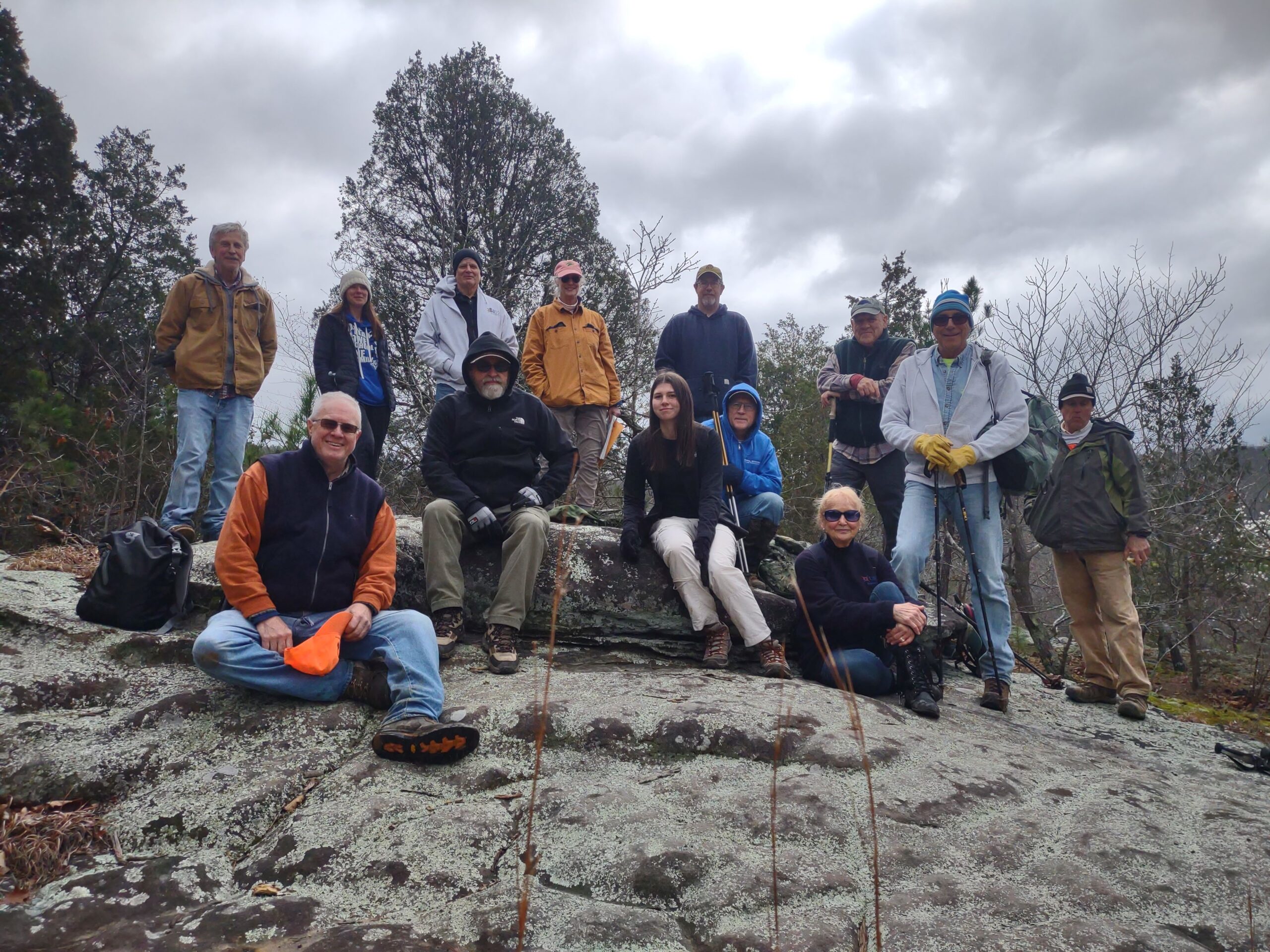
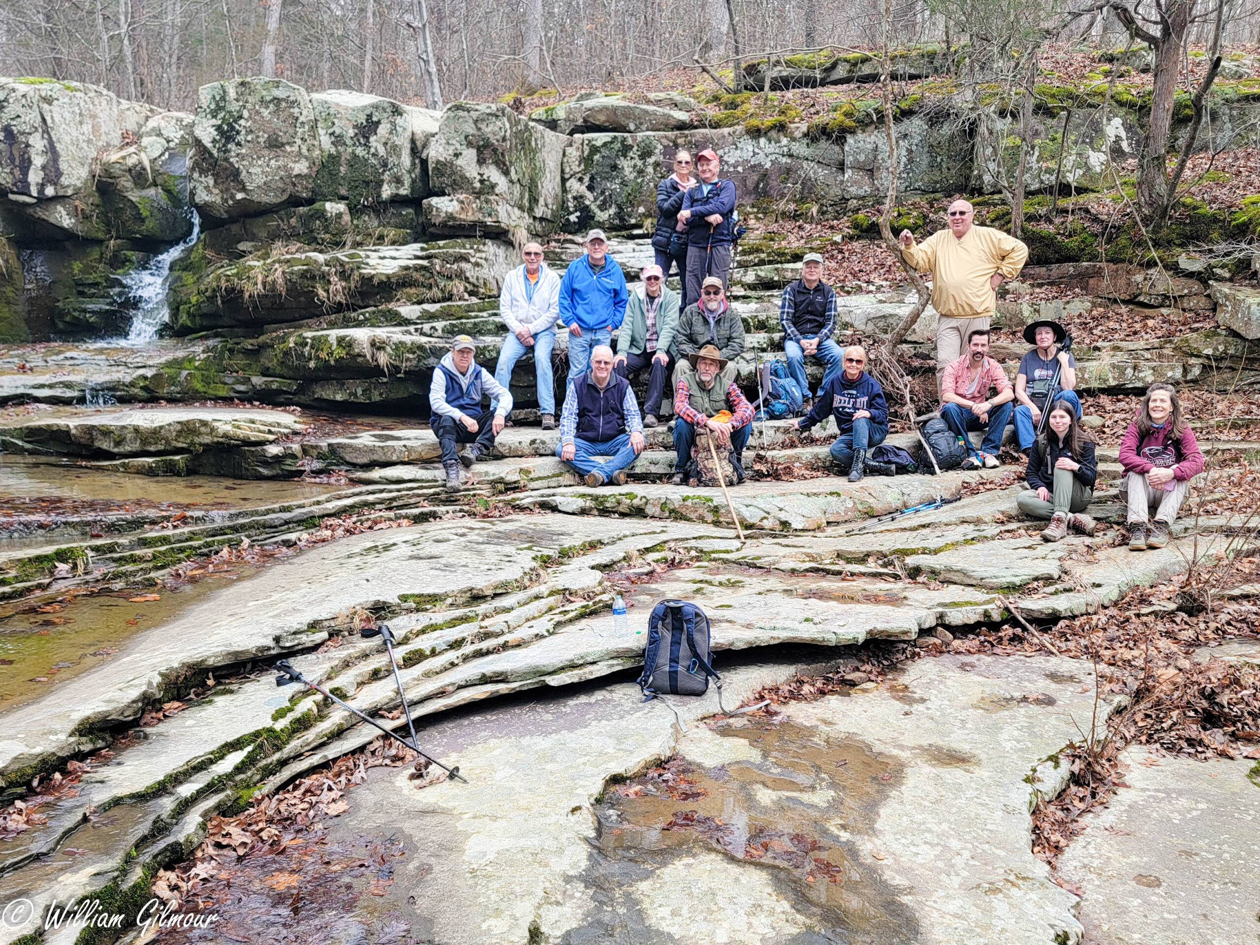
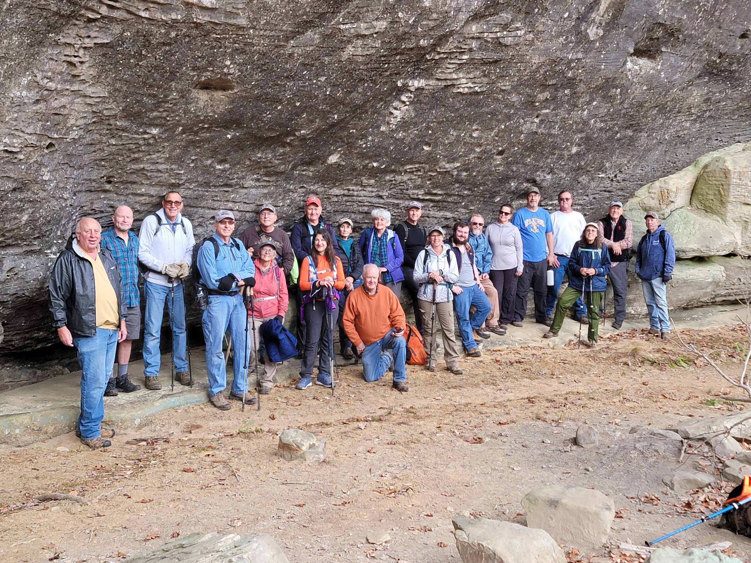
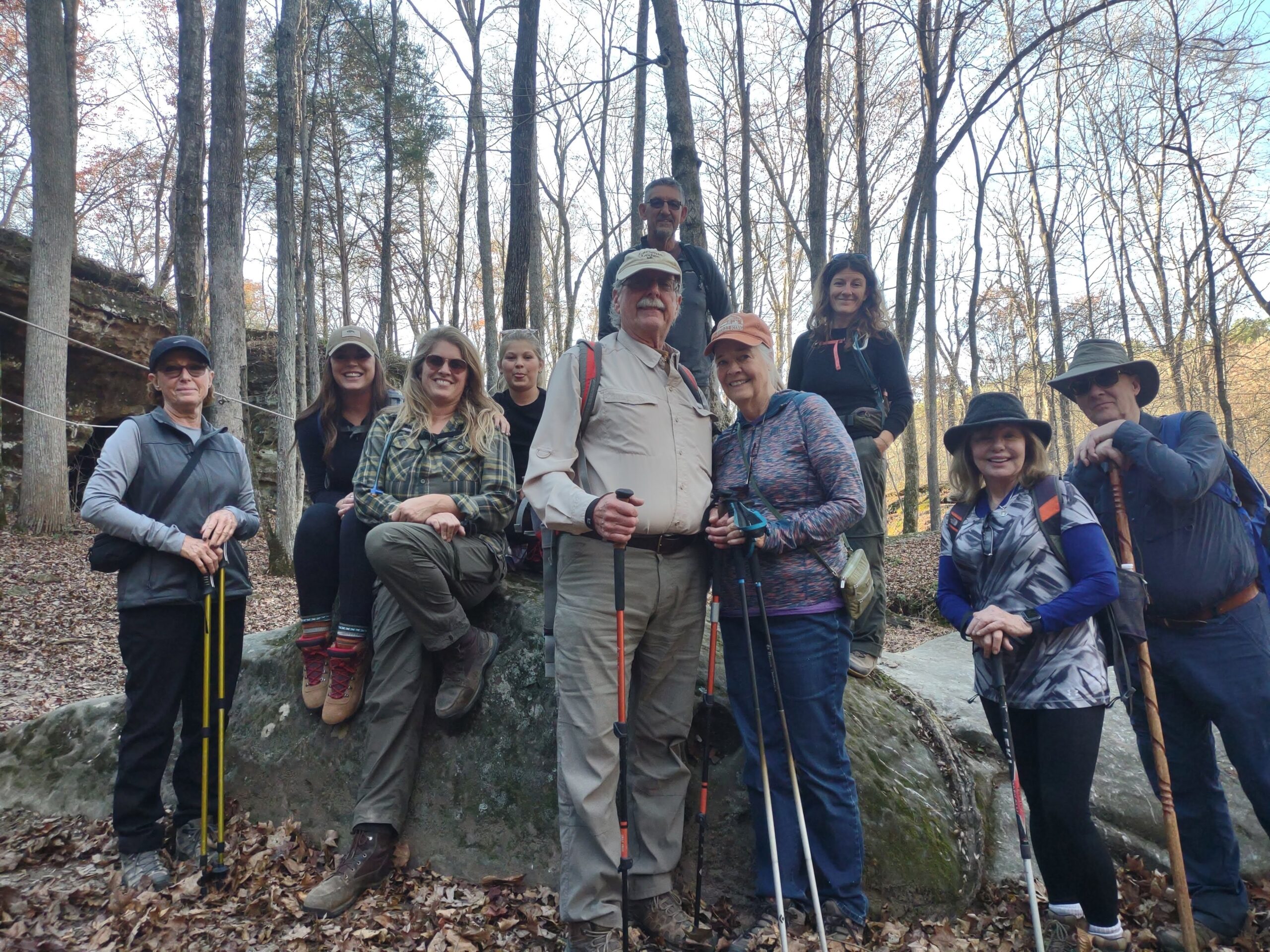
The River to River Trail Society announces its 6th public hike of the 2024 spring hiking season on Apr. 6th. Hiking: Cove Hollow/Splatter Stone Falls (Pope County). This hike is free and open to the public. This will be a difficult loop hike 4 miles in length (3.5 miles trail, 0.5 miles bushwacking), 3.5 hours hiking time. The leader of this hike can be reached at 618-384-1321 for more information. Hikers should meet at 10:00 am at East Trigg Trailhead. This hike is intended for people in good health who have done some hiking. Hiking sticks and boots or sturdy shoes are recommended. Hikers should bring their own water and snacks. No dogs please. There is a steep grade hikers will need to navigate on this hike. There are two stream crossings which requires hikers to walk rocks in order to cross. If it rains prior to this hike, hiker’s boots/shoes may become wet when crossing the streams and a section of the hiking trail may also become muddy. For a map to the meeting location at East Trigg Trailhead click this blue link East Trigg Trailhead and a map will open up, and then click the Directions button and a driving map will be created which will allow you to plan your driving directions to the meeting area. Prior to participating in any hikes, the River to River Trail Society requests that all hikers read the 2023 Trail Society Waiver which can be found on the River to River website at the following link River to River Trail Society Information and then sign off on this waiver prior to the beginning of the hike. A copy of the waiver will be at the East Trigg Trailhead meeting area for your signature.